|
|
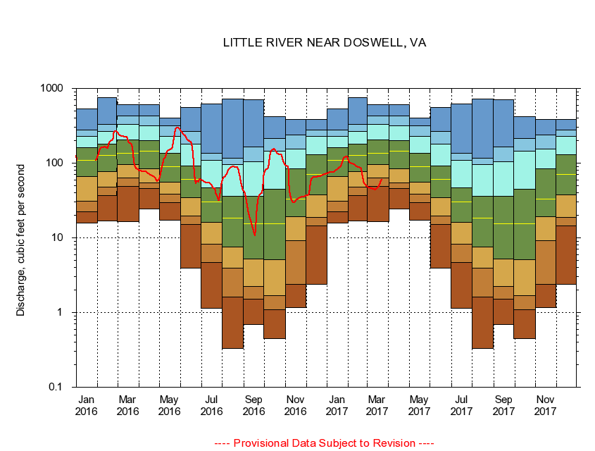
01671100 LITTLE RIVER NEAR DOSWELL, VA
|
|
|
LOCATION.--Latitude 37°52'21", Longitude 77°30'48", North American Datum of 1927,
Hanover County, VA, Hydrologic Unit 02080106.
|
|
|
DRAINAGE AREA.--107 square miles.
|
|
|
PERIOD OF RECORD.--October 1961 to September 1999, October 2000 to current year.
|
|
|
DURATION STATISTIC COMPUTATION PERIOD.--All data through September 2015.
|
|
|
REGULATION.--Frequent quarry dewatering adds about 0.5 cfs at times.
|
|
|
GAGE OPERATION.--Virginia Department of Environmental Quality - Water Division.
|
|
|
|