|
|
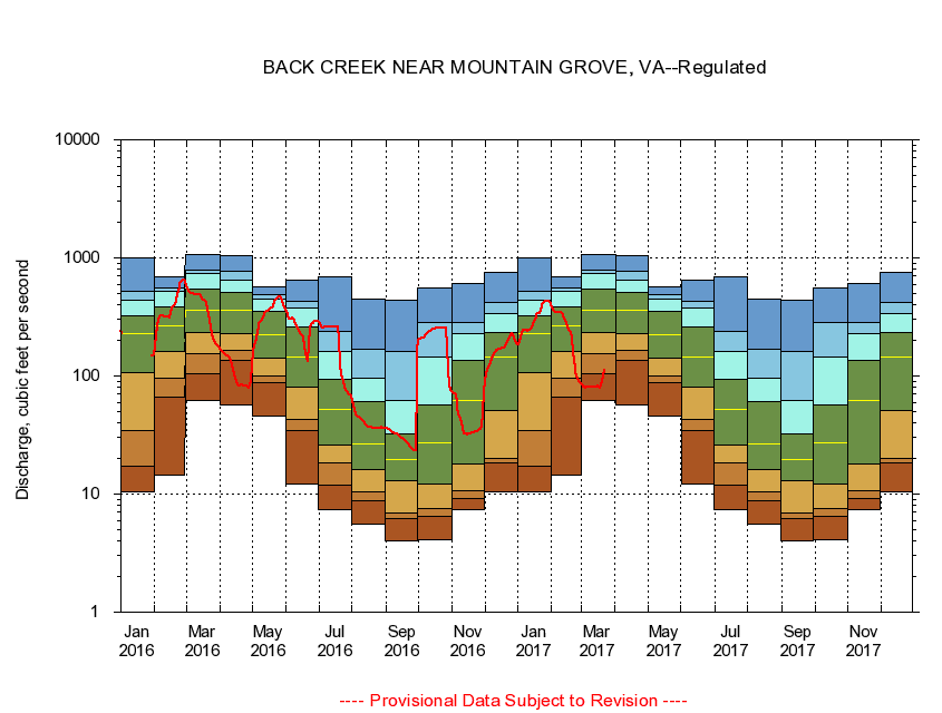
02011500 BACK CREEK NEAR MOUNTAIN GROVE, VA
|
|
|
LOCATION.--Latitude 38°04'10", Longitude 79°53'50", North American Datum of 1927,
Bath County, VA, Hydrologic Unit 02080201.
|
|
|
DRAINAGE AREA.--134 square miles.
|
|
|
PERIOD OF RECORD.--October 1951 to current year.
|
|
|
DURATION STATISTIC COMPUTATION PERIOD.--October 1951 to October 1984.
|
|
|
REGULATION.--Flows regulated since October 1984 by Back Creek Lake 11.3 miles upstream and since January 1985 by Little Back Creek 14.4 miles upstream.
|
|
|
GAGE OPERATION.--U.S. Geological Survey, Virginia Water Science Center.
|
|
|
|