|
|
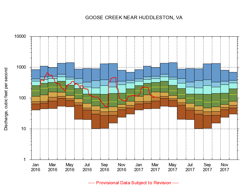
02059500 GOOSE CREEK NEAR HUDDLESTON, VA
|
|
|
LOCATION.--Latitude 37°10'23", Longitude 79°31'14", North American Datum of 1927,
Bedford County, VA, Hydrologic Unit 03010101.
|
|
|
DRAINAGE AREA.--188 square miles.
|
|
|
PERIOD OF RECORD.--September 1930 to current year.
|
|
|
DURATION STATISTIC COMPUTATION PERIOD.--All data through September 2015.
|
|
|
REGULATION.--Prior to October 1954, diurnal fluctuation at low flow, caused by mill upstream from gage.
|
|
|
GAGE OPERATION.--Virginia Department of Environmental Quality - Water Division.
|
|
|
|