|
|
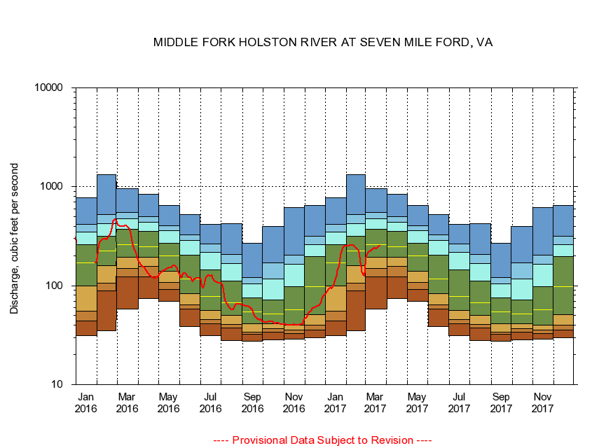
03474000 MIDDLE FORK HOLSTON RIVER AT SEVEN MILE FORD, VA
|
|
|
LOCATION.--Latitude 36°48'26", Longitude 81°37'20", North American Datum of 1927,
Smyth County, VA, Hydrologic Unit 06010102.
|
|
|
DRAINAGE AREA.--132 square miles.
|
|
|
PERIOD OF RECORD.--July 1942 to December 1981, October 1987 to September 1989, October 1996 to current year.
|
|
|
DURATION STATISTIC COMPUTATION PERIOD.--All data through September 2015.
|
|
|
REGULATION.--Some diurnal fluctuation at low flow caused by mill 9 miles above station, prior to April 1977. Since May 1936, flow occasionally regulated by the filling and draining of Hungry Mother Lake on Hungry Mother Creek, capacity about 1,600 ac ft.
|
|
|
GAGE OPERATION.--U.S. Geological Survey, Virginia Water Science Center.
|
|
|
|
|