|
|
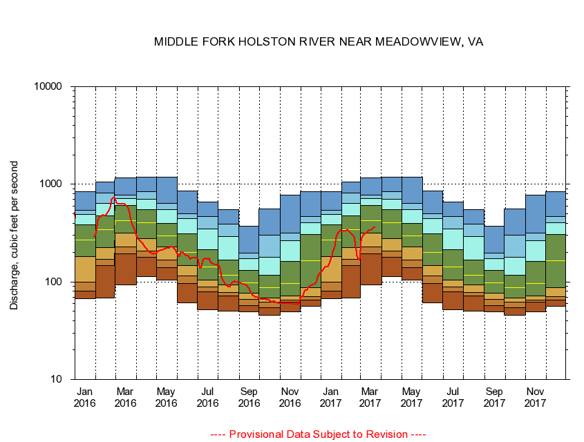
03475000 MIDDLE FORK HOLSTON RIVER NEAR MEADOWVIEW, VA
|
|
|
LOCATION.--Latitude 36°42'47", Longitude 81°49'08", North American Datum of 1927,
Washington County, VA, Hydrologic Unit 06010102.
|
|
|
DRAINAGE AREA.--206 square miles.
|
|
|
PERIOD OF RECORD.--October 1931 to September 1953, May 1976 to current year. Monthly discharge only for October 1931, published in WSP 1306.
|
|
|
DURATION STATISTIC COMPUTATION PERIOD.--May 1976 through September 2015.
|
|
|
REGULATION.--Flow regulated by powerplant about 0.9 mile above gage prior to 1954.
|
|
|
GAGE OPERATION.--U.S. Geological Survey, Virginia Water Science Center.
|
|
|
|