Virginia Water Science Center
Project Information Title: Number: Location: Cooperating Agencies: Project Chief: Period of Project: USGS IN YOUR STATEUSGS Water Science Centers are located in each state.  |
Low-Flow and Base-Flow Characteristics of Streams in VirginiaProblem Streamflow characteristics are used to indicate
the ability of a stream to supply sufficient flow for municipal water
supplies, waste disposal, ground-water recharge, and the maintenance of
natural and sustainable streamflow regimes. These characteristics can be
used to estimate water budgets, which are necessary to the Commonwealth's
requirement for local and regional water-supply planning, and can
provide valuable insight into the availability of surface water and
ground water, and enhanced understanding of aquifer properties within a
watershed. Objectives: The low-flow and base-flow characteristics of streams in Virginia will be determined, analyzed, and published. Data characterizing Virginia streams over the USGS period of record will be used. These include data which span the interval from 1984 through 2007 and were not available as part of previous studies of low- and base-flow in Virginia streams. Relevance and Benefits: The study provides hydrologic information and data
characterizing the low- and base-flow conditions of streams in Virginia.
The study also provides relations and equations for predicting the
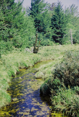
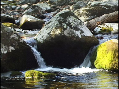
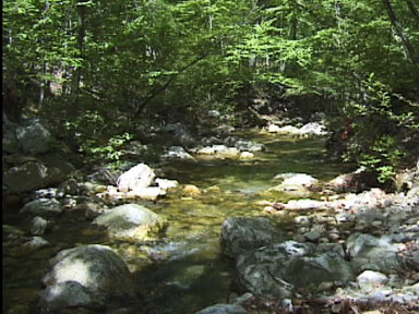
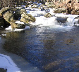
low-flow and base-flow characteristics of Virginia's streams. Images of low-flow and base-flow in Virginia
streams.
|

![]() U.S. Department of the Interior
| U.S. Geological Survey
U.S. Department of the Interior
| U.S. Geological Survey
URL: http://va.water.usgs.gov/projects/low-flow_base_flow.htm
Page Contact Information:
webmaster-va@usgs.gov
Page Last
Modified: 03/31/2010