Virginia Water Science Center
Project Information Title: Number: Location: Cooperating Agencies: Project Chief: Period of Project: USGS IN YOUR STATEUSGS Water Science Centers are located in each state.  |
Basin Boundary Delineation and Annual Flood Peaks of Streams in VirginiaThe Need Economic growth, development, and management of
Virginias natural resources require planning for new construction or
modification of existing transportation infrastructure. Extensive
hydraulic analysis and design are needed to reduce the environmental
impact of highways and bridges on the drainage basins which they cross.
Effective design and placement of structures near streams and on flood
plains requires an understanding of the peak discharge and basin
characteristics of those streams. Knowledge of the magnitude and
frequency of peak discharge is needed to construct highway bridges and
culverts; to locate transportation infrastructure on flood plains; and
to design flood-control structures. Knowledge of basin characteristics
is needed to transfer station peak-discharge characteristics to ungaged
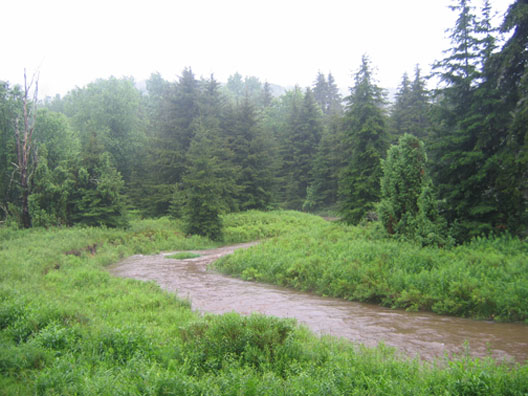
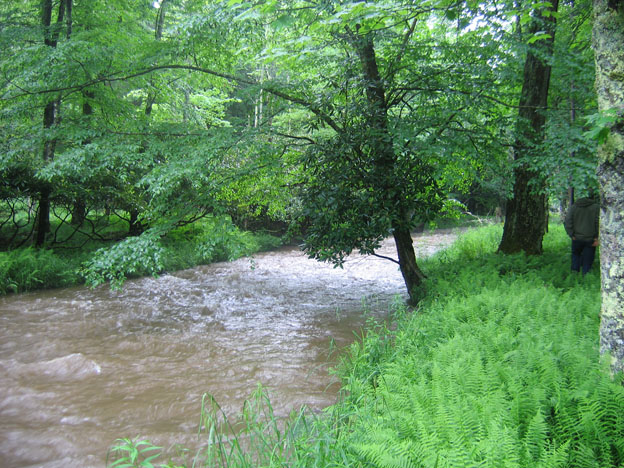
locations. Objectives: The objectives of the study are (1) to develop digital basin boundaries at approximately 550 current and historic surface-water gaging stations and (2) to update annual flood-peak data for these gages in preparation for a flood frequency analysis study. Relevance and Benefits: This project will produce flood records needed to determine flood frequency of streams at gaged locations across Virginia, and the basin information necessary to develop methods for estimating flood frequency at ungaged locations. Although the flood records and basin information described herein have been published in various USGS reports, a single-volume summary compilation is needed. Digital basin boundaries stored in a geospatial database can be related to other Geographic Information System (GIS) databases, which will allow accurate, consistent determination of basin characteristics, such as area, slopes, elevations, soils, geology, land use, and precipitation. Digital basin boundaries have several advantages over traditional delineations on paper maps: digital basin boundaries are portable to other datums and projections, can be combined with other geospatial databases, produce more accurate and consistent determination of basin characteristics, and facilitate revisions. Virginia streams approaching flood stage
|

![]() U.S. Department of the Interior
| U.S. Geological Survey
U.S. Department of the Interior
| U.S. Geological Survey
URL: http://va.water.usgs.gov/projects/peak??.htm
Page Contact Information:
webmaster-va@usgs.gov
Page Last
Modified: 03/14/2008