
|
| |
 |
|
|
| The VAS study
was designed to sample
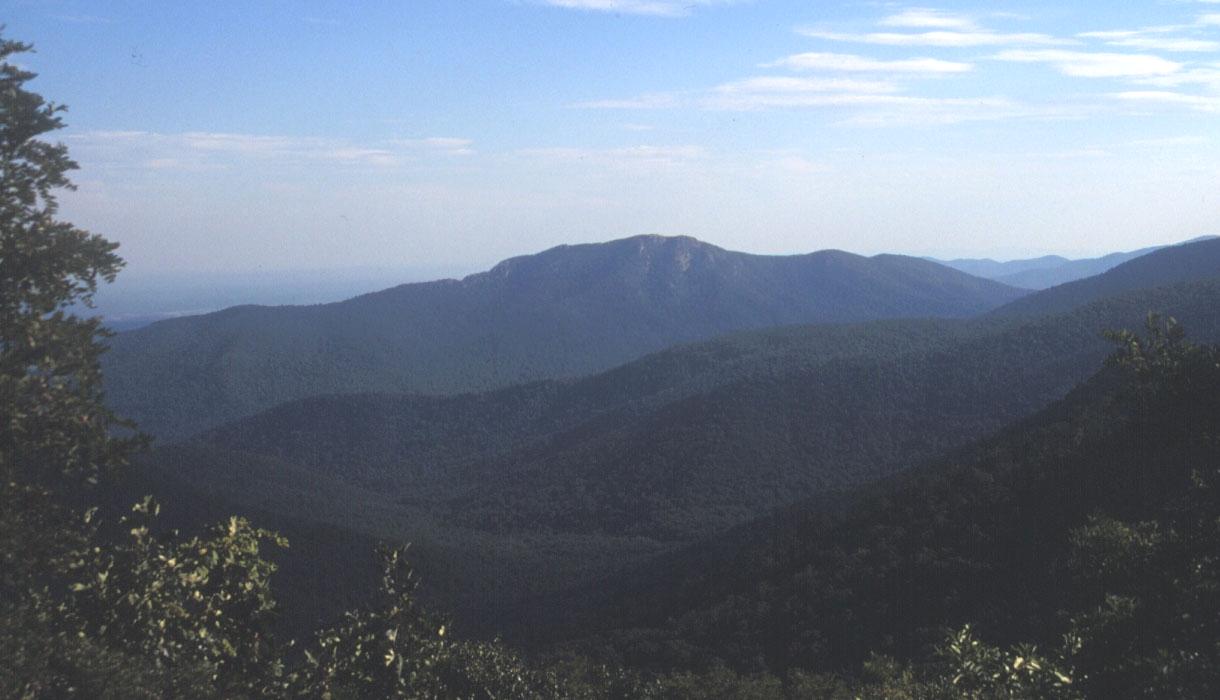
public supply wells across the Commonwealth. The five physiographic provinces of Virginia
were the bases for the definition of regional aquifer systems. Some
provinces were further subdivided on rock type or depth. The Coastal
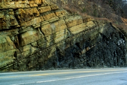
Plain aquifer systems predominantly consist of unconsolidated sediments,
whereas the other aquifer systems are represented by fractured rock
aquifers.
|
|
|
|||
|---|---|---|---|
|
Appalachian Plateaus |
13 | CFCs, Tritium, and SF6 |
|
|
|||
|---|---|---|---|
 |
Blue Ridge |
17 | CFCs, Tritium/Helium-3, and SF6 |
|
|
|||
|---|---|---|---|

|
Shallow aquifer system (<200 feet) |
34 | CFCs, Tritium/Helium-3, and SF6 |
|
Middle aquifer system ( 200 to 400 feet) |
20 | Carbon-14 | |
|
Deep aquifer system (>400 feet) |
11 | Carbon-14 | |
|
|
|||
|---|---|---|---|
|
Piedmont |
30 | CFCs, Tritium/Helium-3, and SF6 |
|
|
|||
|---|---|---|---|
 |
Carbonate |
21 | CFCs, Tritium/Helium-3, and SF6 |
|
Siliciclastic |
25 | CFCs, Tritium/Helium-3, and SF6 | |
|
|
|
| Last Updated on 2/4/2002 By David L. Nelms |
|
Contact: GS-W-VArmd_webmaster@usgs.gov
U.S. Department of Interior,
U.S. Geological Survey
Privacy Statement
Disclaimer
Accessibility
URL http://va.water.usgs.gov/va123/4strat.html
Last update: 09/15/04 12:55