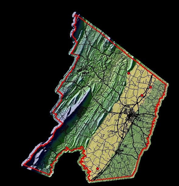
Ground-water levels are measured continuously via monitoring equipment in four wells in Frederick County by the U.S. Geological Survey. Data are available on-line and are updated near the end of each month (when data are available).Click on a site on the map to view a hydrograph. Real-Time Ground-Water-Level Well near Stephenson, Va.
Note: Current data are provisional.
Designated carbonate study area derived from:
Rader, E.K., McDowell, R.C., Gathright, T.M., II,
and Orndorff, R.C., 2003, Raster image of the geologic map of the Virginia
portion of the Winchester 30 X 60 minute quadrangle: Virginia Division of
Mineral Resources Publication 171, Part A [CD-ROM; 2003, September 1].
Virginia
Division of Mineral Resources, 2003, Digital
geospatial data for the geologic map of the
Contact: GS-W-VArmd_webmaster@usgs.gov
U.S. Department of Interior,
U.S. Geological Survey
Privacy Statement
Disclaimer
Accessibility
URL://va.water.usgs.gov/va134/contground.htm
January 26, 2007 09:45