
|
|
Appraisal
of the Northern Shenandoah Valley |
The carbonate aquifer
system of the Northern Shenandoah Valley provides an important water
supply to local communities. This is an area with an expanding economy and
a growing population, and this aquifer is likely to be further developed
to meet future water needs. An improved understanding of this complex
aquifer system is required to effectively develop and manage it as a
sustainable water supply. Hydrogeologic information provided by a detailed
aquifer appraisal will provide useful information to better 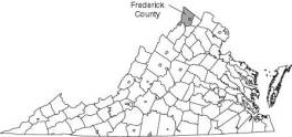 address questions
about (1) the quantity of water available for use, (2) the effects of
increased pumpage on ground-water levels
and instream flows, (3) the relation between karst features and the
hydrology and geochemistry of the surface- and ground-water flow systems,
and (4) the quality of the ground-water supply and its vulnerability to
current and potential future sources of contamination. The area to be
considered in this proposed study encompasses the carbonate formations in
Frederick County, Virginia bounded on the east by the Martinsburg
Formation, and on the west by Little North Mountain. address questions
about (1) the quantity of water available for use, (2) the effects of
increased pumpage on ground-water levels
and instream flows, (3) the relation between karst features and the
hydrology and geochemistry of the surface- and ground-water flow systems,
and (4) the quality of the ground-water supply and its vulnerability to
current and potential future sources of contamination. The area to be
considered in this proposed study encompasses the carbonate formations in
Frederick County, Virginia bounded on the east by the Martinsburg
Formation, and on the west by Little North Mountain.
OBJECTIVEThe objective of this study is to better characterize the carbonate aquifer system in the Northern Shenandoah Valley and provide relevant hydrogeologic information that can be used to guide the development and management of this important water resource. APPROACHThis study will be carried out as four major work elements to include (1) Hydrogeologic Framework, (2) Ground-Water Flow System, (3) Water Balance, and (4) Water Quality. The study will be completed in three and one-half years beginning in October 2000. A field reconnaissance will be completed, existing geologic, hydrologic, and associated information will be collected, organized, and evaluated, and limited field data collection activities will be conducted in Federal Fiscal Year 2001. Based on an evaluation of this information, field investigations will be expanded in Fiscal Year 2002 and 2003. Data analyses will be completed in 2003, and a final report will be produced in Fiscal Year 2004. Continued monitoring and further investigation of specific water management issues will likely be carried out thereafter. This proposal describes the project scope and funding for Fiscal Year 2001 activities. An annual work plan describing proposed work elements and funding estimates will be produced in each of the following years. Activities proposed for Fiscal Year 2001 are as follows: Hydrogeologic Framework
Ground-Water Flow System
Water Balance
Water Quality
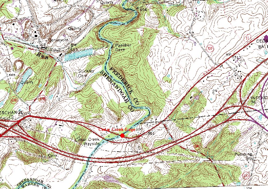
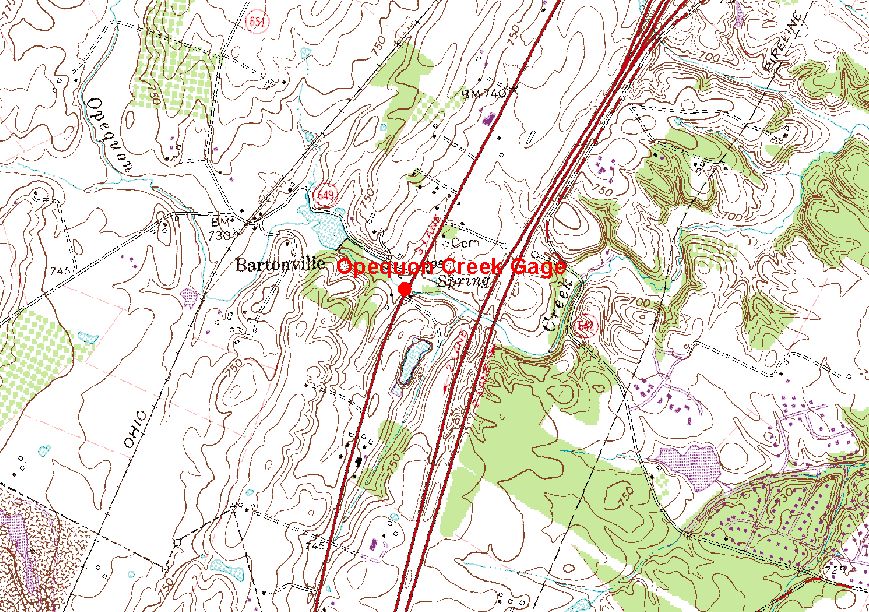
Stream Gaging
RELEVANCE AND BENEFITSWork on this project will contribute to the knowledge of water resources in the carbonate aquifers of Frederick County and the northern Shenandoah Valley of Virginia. The study will set the framework for further investigation of fundamental processes controlling the occurrence and movement of water in the carbonate aquifer system. Over the long term, information from this study will be incorporated with current and past investigations in neighboring states to increase our knowledge of the hydrogeologic controls on ground-water flow in the karst terrain of the Middle Atlantic States.
| |
| For information contact: | |
| George E. Harlow,
Jr. 804-261-2631 geharlow@usgs.gov |
David L.
Nelms 804-261-2630 dlnelms@usgs.gov |
Contact: GS-W-VArmd_webmaster@usgs.gov
U.S. Department of Interior,
U.S. Geological Survey
Privacy Statement
Disclaimer
Accessibility
URL://va.water.usgs.gov/va134/science2001.htm
February 08, 2010 09:52