
 |
USGS technician (Steve Wheeler) measuring flow in North Fork Catoctin Creek with Loudoun County employee (William Bate) observing. | ||
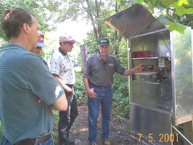 |
Several County employees and USGS employee (Roger White) inspecting instrumentation installation at South Fork Catoctin Creek. | ||
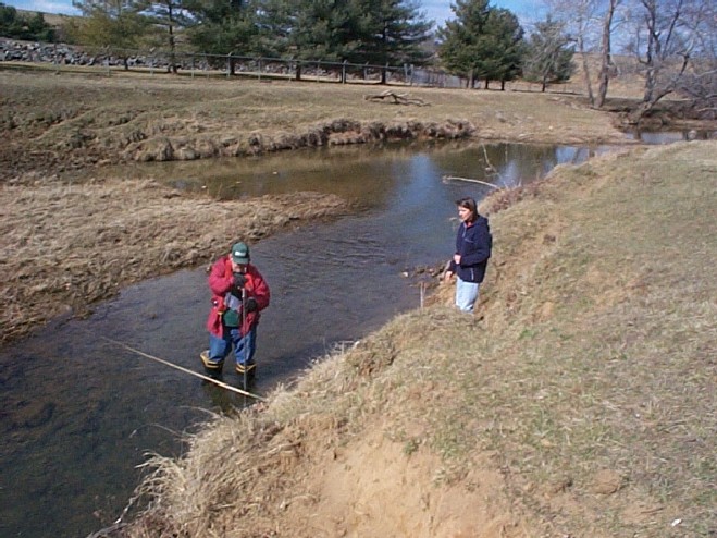 |
USGS technician (Steve Wheeler) measuring flow in South Fork Catoctin Creek with Loudoun County employee observing. | ||
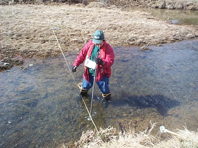 |
USGS technician (Steve Wheeler) measuring flow in South Fork Catoctin Creek. | ||
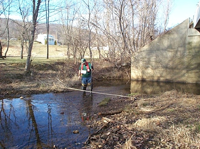 |
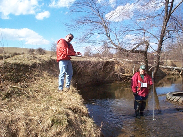
USGS technician (Steve Wheeler) measuring flow in North Fork Catoctin Creek. | ||
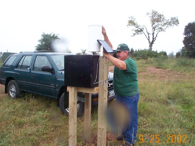 |
USS technician (Steve Wheeler) installing rain gage in Limestone Branch watershed. | ||
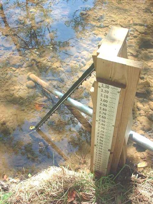 |
Example of a typical staff plate installation used to verify instrumentation readings at gaging stations. | ||
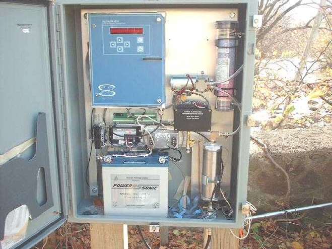 |
Example of instrumentation used to collect stage readings every 15 minutes at a gaging station. | ||
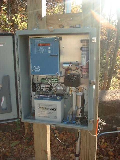 |
Example of instrumentation used to collect stage readings every 15 minutes at a gaging station. | ||
Return to Loudoun County Water Resources Investigation Home Page
Contact: GS-W-VArmd_webmaster@usgs.gov
U.S. Department of Interior,
U.S. Geological Survey
Privacy Statement
Disclaimer
Accessibility
URL://va.water.usgs.gov/Loudoun/pictures.htm
December 15, 2003 07:33