Virginia Water Science Center
|
|
|
||||||||||||||||
|
Project Information Number Location Cooperating Agencies North Carolina Division of Parks and Recreation
Project Contact Period of Project
|
| Hydrologic and Water-Quality Factors Affecting
Habitat Restoration
| |||||||||||||||
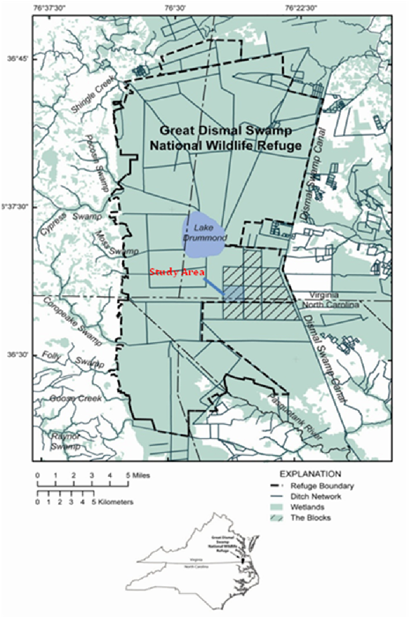
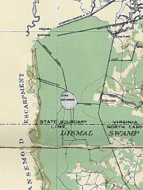
The Great Dismal Swamp National Wildlife
Refuge was established by Congress in 1974 to preserve 110,200
acres of unique, seasonally-flooded, wetland habitats threatened
by urban development in the Hampton Roads area of southeastern
Virginia and by agricultural activities in northeastern North
Carolina.
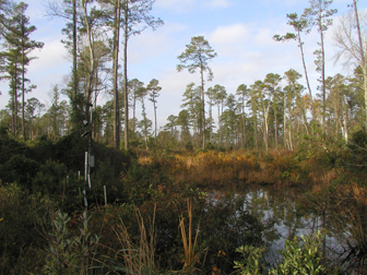
The U.S. Fish and Wildlife Service (the Service) manages the refuge to maintain these habitats. The refuge is dissected by an extensive network of access roads and ditches constructed since 1763 to drain the wetlands to facilitate logging them. This network has profoundly altered the hydrology throughout the refuge causing drier conditions and otherwise changing the characteristics of many of these habitats. One of the main changes has been the invasion of plant species not normally present, primarily red maple (Acer rubrum). Water-control structures on the ditches can be used to control the flow of water across the refuge and manage the wetlands to restore, maintain, and preserve the desired habitats. Pocosins are one of the types of habitats and are located southeast of Lake Drummond in “the Blocks.” The U.S. Geological Survey (USGS), Virginia Water Science Center, in cooperation with the U.S. Fish and Wildlife Service and the North Carolina Division of Parks and Recreation are investigating the relations between water levels in the ditches and groundwater levels in the pocosins to help develop strategies for managing these habitats. |
||||
| The objectives of this study are to identify 1) the relations between water levels in the ditches and groundwater levels near the ditches and in the interior of the Blocks, 2) possible relations between groundwater levels and tree growth rates, and 3) current nutrient chemistry and possible nutrient transport pathways in these wetlands. |
This project is a part of USGS efforts to
assist other Department of the Interior agencies address
management issues on Department lands. By better understanding
the relations between hydrology and wetland habitats, the
Service can better restore, manage, and preserve habitats
critical to various species.
|
| Water levels and quality are being measured
in ditches surrounding Block C1 and in wells in 17 clusters
across the block. Precipitation amounts are being measured at
selected sites. Data are being transmitted “Realtime” and posted
on the Science Center web page. Cores from trees near selected well clusters will be analyzed to determine variations in growth related to potential stresses. Water samples are being collected from selected wells and wetland sites and analyzed for a combination of field-determined characteristics and concentrations of nutrients, major ions, and isotopes of various constituents. |
U.S. Fish and Wildlife Service, 2004, Environmental assessment for the red-cockaded woodpecker habitat enhancement and reintroduction at the Great Dismal Swamp National Wildlife Refuge, https://greatdismalswamp.fws.gov/pdf%20files/Final%20RCW%20EA.pdf
Note: PDF Reader available at
get.adobe.com/reader/
| AccessibilityFOIAPrivacyPolicies and Notices | |
 |
|