Virginia Water Science Center

DATA CENTER

INFORMATION CENTER
Duration Plots ABOUT THE VIRGINIA
|
Virginia Water Science CenterThe mission of the Water Discipline, which supports the overall mission of the U.S. Department of the Interior and the U.S. Geological Survey, is to provide the hydrologic information and understanding needed for the best use and management of the Nation's water resources for the benefit of the people of the United States.
The USGS provides current ("real-time") stream stage and streamflow (198 sites), water-quality (38 sites), and groundwater levels for 123 sites in Virginia.
Of Current Interest Instant Information about Water Conditions: placeholder photo needed???
Featured ProjectClarke County
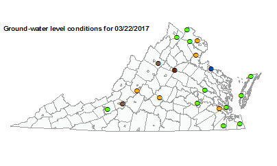
Spout Run The area considered in this study encompasses both the carbonate and non-carbonate rocks in Clarke County, Va. Water-quality protection efforts- as outlined in the Water Resources, Groundwater Resources, and the Surface Water Resources Plans- are included in the County's Comprehensive Plan. These efforts are based on previous investigations that have been conducted in the County since the late-1980s. The establishment of a long-term data network and further evaluation of information from previous studies was part of this hydrogeologic assessment, and will aid future land-use and water-supply planning activities in the County. Duration PlotsGroundwater Level Conditions
Climate Response
|