|
|
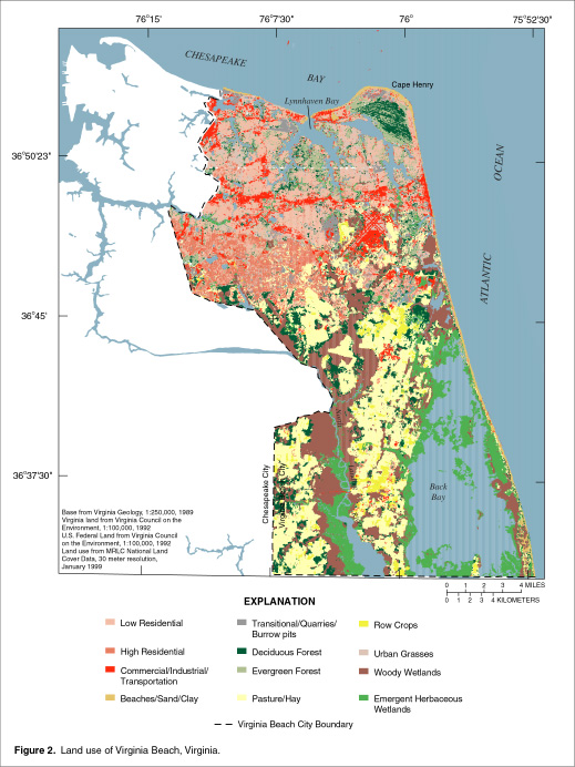
Virginia Beach Shallow Ground-Water Study
Problem The Lake Gaston pipeline
supplies water for most of the northern half of the city, but some northern
neighborhoods and the southern half of the city rely solely on ground
water. Privately owned wells provide water from shallow depths in Virginia
Beach. Supplies of ground water are limited, however, because of high
concentrations of iron, manganese, chloride and (or) sulfide ions in some
areas. At depths greater than approximately 200 ft, the water is generally
too saline to drink The city of Virginia Beach is striving to manage and
protect the limited supply of usable ground water in the shallow aquifers
beneath the city for drinking water, irrigation, heat pumps, and potentially
for desalination. The U.S. Geological Survey in cooperation with the City of
Virginia Beach began an investigation in 1996 to characterize the shallow
aquifer system. The hydrogeologic framework of the shallow aquifer system
needed to be refined, patterns of ground-water flow needed better
definition, and the general quality of the shallow aquifers needed to be
further defined. The USGS has recovered continuous cores and down-hole geophysical logs from 7 test holes spread across the city to depths of approximately 200 feet. Ten observation wells were installed at 5 of those sites. Water from these and other wells will be analyzed and the hydrogeologic framework of the shallow aquifer system will be refined. Numerical modeling and particle tracking methods will be used to simulate ground-water flow and flow patterns beneath the southern watersheds of the city. This information will provide a better understand the distribution of fresh ground water, its potential uses, and its susceptibility to contamination. |
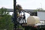 Virginia Beach Drilling